Watching the Silent Glaciers: Tracking Karakoram Lake Stability with Satellite Radar
Team Ilm Ora · 18 October 2026
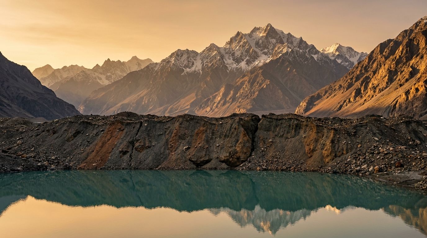
High-Mountain Asia contains the world's largest concentration of glacial ice outside the polar ice sheets, supplying vital freshwater to over a billion people across South and Central Asia. However, accelerating global temperatures are transforming these icy landscapes. As alpine glaciers retreat, melting water accumulates behind natural embankments made of loose rock, gravel, and ice, creating hazardous glacial lakes. When these natural dams collapse under pressure, millions of cubic meters of water flash down mountain valleys in devastating Glacial Lake Outburst Floods, or GLOFs. In northern Pakistan's Karakoram range, geographers use satellite synthetic aperture radar to monitor these remote alpine lakes, tracking millimeter-level dam movements to predict disasters before they strike downstream communities.
The Geomorphology of Moraine and Ice Dams
Understanding outburst flood hazards requires examining how glacial lakes are impounded. When a glacier moves down a mountain valley, it acts like a giant natural bulldozer, pushing millions of tons of crushed rock, boulders, and fine sediment ahead of its snout. When the glacier retreats, this accumulated gravel ridge is left behind as a moraine. Lakes impounded by moraines are inherently unstable. Unlike engineered concrete dams, moraines consist of loose, un-compacted sediments held together by gravity and a core of buried ice. Over time, summer heat melts this internal ice core, creating hollow voids within the dam structure. Water from the lake can seep through these porous voids, eroding the internal gravel wall from the inside out in a process known as piping. Alternatively, ice avalanches falling into the lake can generate massive wave surges that overtop the moraine wall, cutting a deep channel that causes the entire lake to empty within hours.
Synthetic Aperture Radar and Phase Interferometry
Monitoring remote high-altitude lakes across thousands of mountain valleys is impossible using ground personnel alone. Traditional optical satellite cameras are hindered by frequent cloud cover, rain, and winter night darkness. Geographers rely instead on spaceborne Synthetic Aperture Radar, or SAR. Unlike passive optical cameras that collect reflected sunlight, a SAR satellite emits active microwave radio pulses toward the Earth's surface and measures the returned radar echo. Because microwave radio signals penetrate clouds, fog, and darkness, SAR systems capture high-resolution imagery twenty-four hours a day in all weather conditions. By comparing two radar images of the exact same glacier taken from the same orbital position weeks apart, a technique called Interferometric Synthetic Aperture Radar (InSAR) uses phase wave interference to measure ground surface movements with millimeter precision.
Detecting Micro-Deformations in Moraine Walls
InSAR phase interferometry functions as an orbital ruler. When a moraine dam begins to weaken under internal water pressure or melting core ice, its surface creeps slightly downward or outward. As the satellite passes overhead during its first orbital pass, it records a baseline microwave pulse signature. On a second orbital pass days later, if the moraine wall has shifted even by a single centimeter, the returning pulse phase offsets slightly. By processing these phase differences, geographers generate color-coded deformation maps that reveal exactly which sections of a moraine dam are sagging, bulging, or destabilizing. If a moraine wall displays accelerating deformation rates during warm melt months, researchers flag the lake as high-risk, alerting disaster management agencies long before a catastrophic breach occurs.
Integrated Early Warning and Climate Adaptation
Satellite radar monitoring forms the backbone of modern disaster risk reduction across northern Pakistan. Geographers combine satellite InSAR deformation maps with real-time automated weather station data and water-level sensor networks installed at high-risk lakes. When monitoring systems detect high water levels coupled with moraine wall deformation, early warning alerts trigger downstream community evacuation plans. Concurrently, civil engineers construct artificial siphons and spillway channels to drain water volume safely, lowering hydraulic pressure against the moraine walls. By combining orbital radar physics with community-based adaptation, high-mountain geography protects vulnerable populations living in the shadow of high alpine glacial lakes.
We cannot stop mountain glaciers from melting, but using radar physics from orbit gives mountain communities the time they need to stay safe.