
The Mariana Trench vs. Mount Everest: What "Deepest" Actually Means
Team Ilm Ora · 12 September 2026
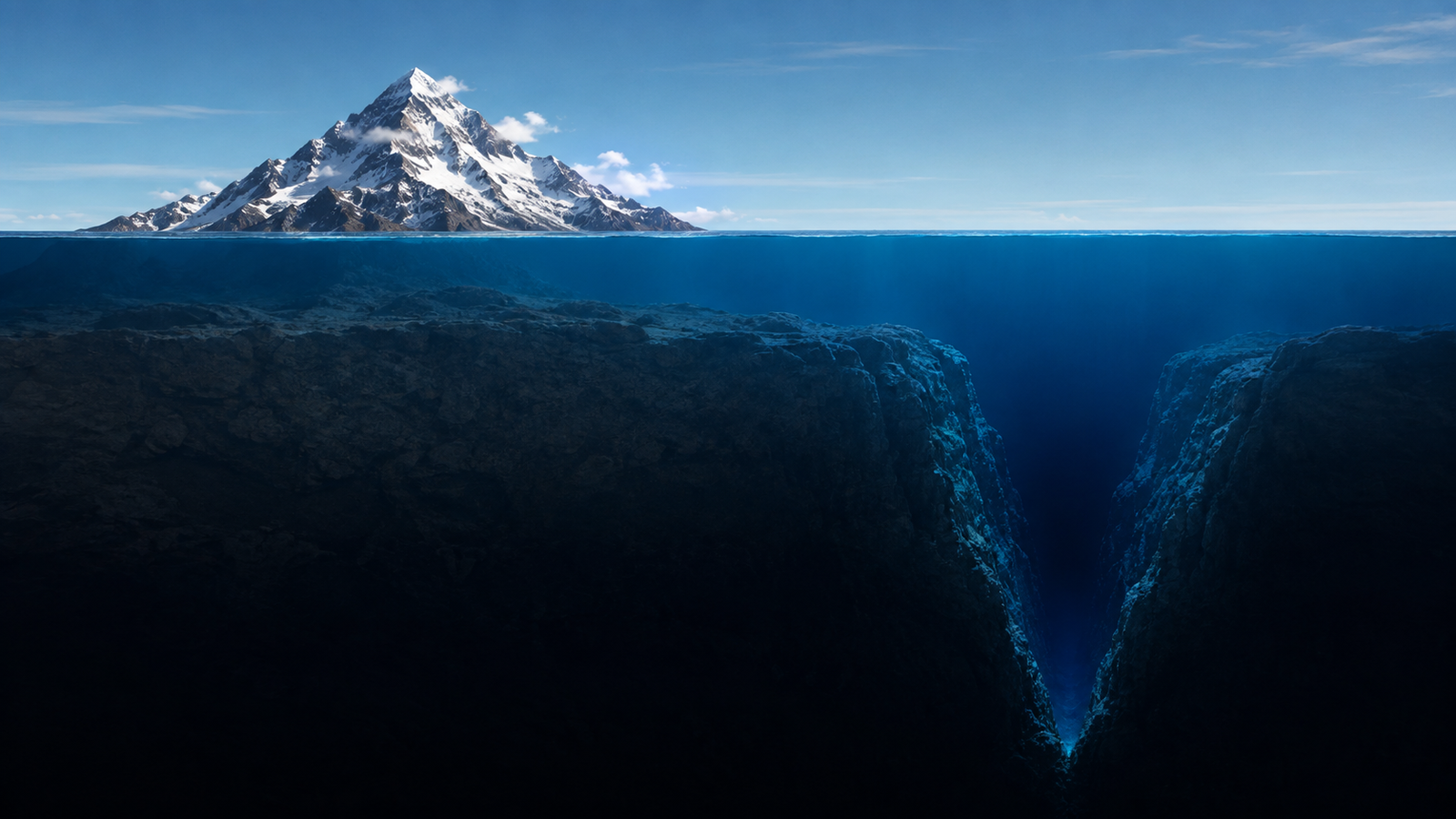
If you pulled Mount Everest up by its roots and dropped it into the deepest part of the ocean, its peak — the highest point on Earth — would still be more than a kilometer underwater. And that's just the beginning of how strange the idea of "highest" and "deepest" actually gets.
Two Extremes, One Planet
Mount Everest, sitting on the border of Nepal and China, is the highest point above sea level on Earth, at 8,849 meters (a figure jointly confirmed by China and Nepal in a 2020 remeasurement). Roughly on the opposite extreme, in the western Pacific Ocean, sits the Mariana Trench, home to the deepest known point on Earth's surface: the Challenger Deep. Modern sonar mapping puts its depth at approximately 10,935 meters, though exact figures have varied slightly across different expeditions and measuring techniques over the decades — more on why that is below.
Put simply: the deepest point on the seafloor is more than 2 kilometers deeper below sea level than the highest mountain peak is above it. If you could somehow uproot Everest entirely and set it down at the bottom of the Challenger Deep, its summit — the highest point on the planet — would still sit roughly 2,000 meters underwater, submerged beneath more than a mile of ocean above it.
Why Measuring the Deepest Point on Earth Is Genuinely Hard
You might assume measuring ocean depth is simple: drop something down, see how long the rope is when it hits bottom. That's actually close to how it was first done. In 1875, the survey ship HMS Challenger first sounded the trench using weighted lines. In 1960, explorers Jacques Piccard and Don Walsh became the first humans to reach the bottom in a submersible called the Trieste, measuring a depth of about 10,916 meters.
Since then, the measured depth has shifted slightly with each new expedition and technology: 10,898 meters when filmmaker James Cameron made a solo dive in 2012, and 10,925 to 10,928 meters when explorer Victor Vescovo dove there in 2019 using specialized pressure sensors as part of his "Five Deeps Expedition" (an effort to visit the deepest point of all five of the world's oceans). These aren't contradictions or errors — they reflect genuinely difficult measurement conditions. At that depth, pressure reaches about 16,000 pounds per square inch — comparable to the weight of about 50 jumbo jets stacked on a single point — and researchers have to correct their instruments for tiny variations in water temperature, salinity, and even the exact shape of the seafloor at the bottom of a narrow slot-shaped valley, which itself may have several nearly-equal low points. Modern sonar mapping puts the currently accepted maximum depth at about 10,935 meters, with an uncertainty of about 6 meters either way — impressively precise, given that you're trying to measure a single point nearly 11 kilometers below a ship on the surface.
"Highest" Depends Entirely on What You're Measuring From
Here's where the story gets genuinely strange: Mount Everest is the highest point above sea level — but sea level itself isn't a perfectly even, fixed reference. Earth isn't a perfect sphere. It's very slightly squashed, bulging outward at the equator due to the planet's rotation — a shape technically called an oblate spheroid. This means the distance from Earth's exact center to sea level is measurably larger at the equator than it is near the poles.
That single fact quietly demotes Everest from an even bigger title than most people assume. Mount Chimborazo, a volcano in Ecuador sitting almost exactly on the equator, reaches only 6,263 meters above sea level — nowhere close to Everest's 8,849 meters. But because it sits on the part of the Earth's surface that bulges the farthest outward, Chimborazo's summit is actually more than 2,072 meters farther from the center of the Earth than Everest's summit is. If you're asking "which mountain peak is truly farthest out into space, measured from the middle of the planet," the answer isn't Everest. It's Chimborazo.
There's a third definition, too. If you measure a mountain's total height from its actual base to its peak — rather than just from sea level — the record goes to Mauna Kea in Hawaii, which rises more than 10,210 meters from its true base on the Pacific Ocean floor to its summit. More than half of that height is underwater, which is exactly why it doesn't show up on any "tallest mountain" list based on sea level.
So depending on which definition you use, three completely different mountains hold three completely different "tallest" titles: Everest (highest above sea level), Chimborazo (farthest from Earth's center), and Mauna Kea (tallest base-to-peak).
What "Deepest" Doesn't Mean: Featureless or Empty
It's tempting to imagine the Challenger Deep as an empty, flat void. It isn't. When Victor Vescovo spent roughly four hours exploring the bottom during his 2019 dive — the longest continuous time any human has spent there — he described the seafloor as a flat, silt-covered basin interrupted by rocky outcrops and a surprisingly active biological community: translucent sea cucumbers adapted to crushing pressure, shrimp-like amphipods, snailfish, and several species that turned out to be entirely new to science. Life exists even at the most extreme, permanently dark, high-pressure point on the planet.
Two Records, Same Underlying Cause
Both extremes — Everest's height and the trench's depth — are ultimately produced by the exact same underlying process: plate tectonics, the slow movement of Earth's outer shell. Everest exists because two tectonic plates, one carrying India and one carrying Asia, have been colliding and crumpling upward for tens of millions of years. The Mariana Trench exists because of the opposite kind of collision — a subduction zone, where one section of ocean floor (the Pacific Plate) is being forced downward beneath a neighboring plate, plunging into the Earth's interior and carving out the deepest gash on the planet's surface in the process.
In other words, the highest and lowest points on Earth aren't unrelated curiosities. They're both direct, visible evidence of the same slow-motion collision process still actively reshaping the planet beneath your feet.
If you dropped Mount Everest into the deepest part of the ocean, the highest point on Earth would vanish more than a kilometer beneath the surface — proof that "highest" and "deepest" are less about absolute height and more about which fixed point you happen to be measuring from.